
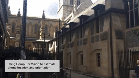
Augmented reality developer Blippar has created a new visual positioning service based on computer vision that is two times more accurate than GPS in urban locales.
Positional accuracy has significant implications for location-based augmented reality experiences. With less margin of error, content overlays would also be more stable.
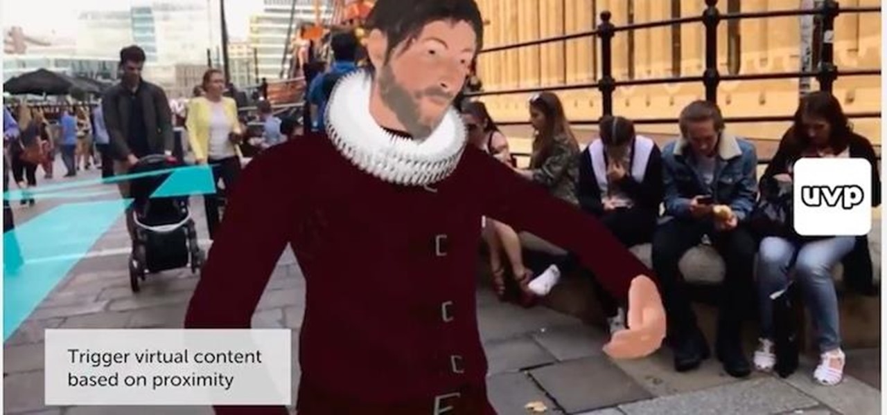
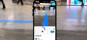
For example, it can enable a navigation app that overlays streets and landmarks on the user's field of view. A retailer on a densely-populated street could trigger augmented reality content when a user with an app powered by Blippar's system walks immediately in front of their storefront. Location-based games like Pokémon Go in place objectives for players to find with greater precision.
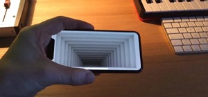
A video demonstration captured on an iPhone using Blippar's system shows that it is capable of determining locations nearly instantaneously.
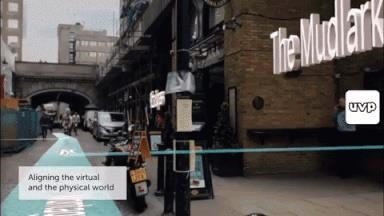
"What we have achieved with Computer Vision in our Urban Visual Positioning System, that we are able to do this at city-scale and with high accuracy, is an important breakthrough in the industry. The technology helps to align and superimpose the physical and virtual worlds more accurately than GPS and will not only empower the industry to create more sophisticated AR experience but it has potential to significantly impact areas like tourism, city mapping, real-world 3D gaming, and more." said Omar Tayeb, CTO and co-founder of Blippar, via a news release.
Blippar's approach is similar to how Google Tango's Visual Positioning Service determines location or how Apple's ARKit orients position. Using visual data from a database similar to Google Street View provided by an undisclosed vendor, Blippar's Urban Visual Positioning System determines a user's location based on its recognition of the surrounding environment, attaining latitude, longitude and orientation.
Tayeb told MIT Technology Review that their system is accurate to within eight meters on average but attained accuracy to less than three meters in some cases. Blippar has tested the system in San Francisco, Mountain View, and Central London. By comparison, location error for GPS can reach 16 meters due to poor reception caused by surrounding buildings in urban areas.
Blippar will license the Urban Visual Positioning System to businesses and developers for use in their own technology. Those who are interested in using the system can contact Blippar.
Just updated your iPhone? You'll find new emoji, enhanced security, podcast transcripts, Apple Cash virtual numbers, and other useful features. There are even new additions hidden within Safari. Find out what's new and changed on your iPhone with the iOS 17.4 update.


Be the First to Comment
Share Your Thoughts